CONNECTING PLANTS AND PEOPLES FOR A WORLD OF DIVERSITY, BEAUTY, AND HOPE.
The Cascadilla Gorge Trail between College Avenue and Linn Street is now open for the season. For your safety, please remain on official trails and do not enter closed trails or restricted areas around the gorges.
X
FEATURED

Cultural Connection
For the Love of Chocolate
Have you thought about when and why chocolate became part of Valentine’s Day traditions?
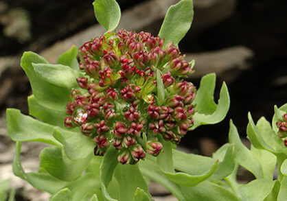
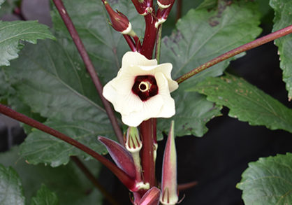
Rare blooms find shelter in Cascadilla Gorge
Cornell Botanic Gardens has successfully established a population of the federally threatened plant Leedy’s roseroot in the walls of Cascadilla Gorge.
Learn
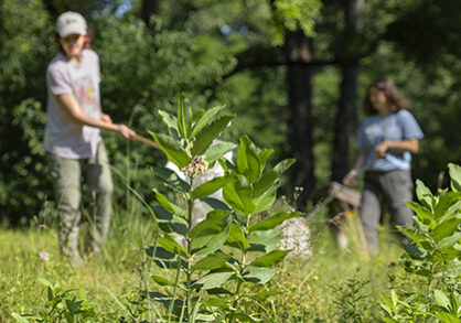
All about our Native Lawn
A lawn sown with native grasses does a world of good. Learn why and how to create one.
Land Acknowledgement
Cornell University is located on the traditional homelands of the Gayogo̱hó꞉nǫ' (the Cayuga Nation), members of the Haudenosaunee Confederacy.
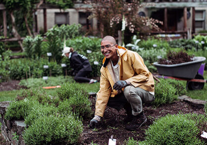
Our Diversity, Equity, and Inclusion Efforts
Cornell Botanic Gardens embraces and actively works to increase diversity among all the communities with which we engage.
News
Seeds of Survival and Celebration: Plants and the Black Experience
This garden display and exhibit shares the knowledge, skill, and resilience of enslaved Africans, their descendants, and today’s Black community and their deep connections to plants and the cuisines they inspired.
Our Gardens and Natural Areas
We are responsible for the natural beauty of the Cornell University campus including cultivated gardens, an arboretum, and natural areas. Together these comprise one-third of campus, and with off-campus natural areas, a total of 3,600 acres.
WHAT TO SEE IN WINTER!
Winter provides a season of stillness and quiet beauty throughout our gardens and natural areas.